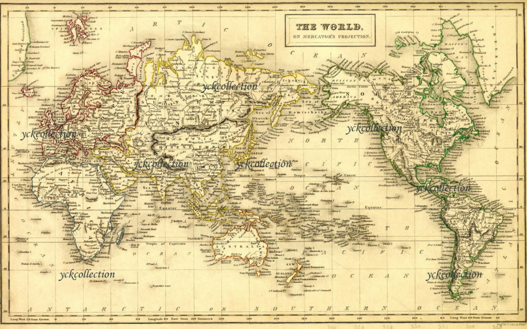
Antique maps are more than navigational tools; they are windows into the past, illustrating how early explorers saw the world and documenting the geographical understanding of their times.
Collectors and historians cherish these maps not just for their beauty and rarity but for their ability to capture pivotal moments in human exploration.
This article showcases the top 10 most valuable antique maps, revealing their historical contexts and the adventurous spirits behind their creation.
Mercator’s 1569 World Map
Gerardus Mercator’s 1569 world map was revolutionary for introducing the Mercator projection, a standard for nautical navigation. This pioneering map, helping sailors chart direct courses across oceans, fetched $1 million at a recent auction due to its impact on maritime history and cartography.
Waldseemüller’s Universalis Cosmographia
The Waldseemüller map of 1507 is the first to use the name “America,” honoring the explorer Amerigo Vespucci. As a cornerstone in the history of cartography, this map’s only surviving copy is valued at over $10 million, held by the Library of Congress for its monumental global significance.
Ptolemy’s Geographia
Claudius Ptolemy’s vision of the world in ‘Geographia,’ dating back to 150 AD and printed in 1477, combines a Roman scholar’s work with Renaissance printing technology. Valued at around $4 million, it features constellations and classical knowledge of geography, making it highly prized for its blend of science and art.
The Seldon Map
Dating back to the early 17th century, the Seldon Map details maritime routes between China and Southeast Asia, providing unique insights into trade and navigation of the era. Its discovery in the Bodleian Library and subsequent valuation up to $5 million reflect its rarity and historical value.
John Speed’s Map of the British Isles
John Speed’s 1611 map of the British Isles, renowned for its artistic detail and accuracy for the time, has become a defining piece of cartographic art. A well-preserved copy can fetch up to $2.5 million at auction, celebrated for its detailed city plans and historical annotations.
Blaeu’s Grand Atlas
Published in the 17th century, Blaeu’s Grand Atlas is a monumental work in the history of cartography. Known for its elaborate illustrations and comprehensive coverage, complete sets have been valued at around $6 million, reflecting their rarity and the extensive geographical knowledge they contain.
The Vinland Map
Purportedly a 15th-century map showing part of North America before Columbus’s arrival, the Vinland Map has been a subject of controversy and fascination, with debates over its authenticity. Valued at over $1 million, it captures the imagination of those fascinated with Viking explorations.
The Sheldon Tapestry Map
This woven map from the 1590s, part of a series depicting English counties, combines cartography with tapestry art, offering a unique medium for mapmaking. Estimated to be worth millions, these tapestries are prized for their artistic and cartographic rarity.
Smith’s Virginia Map
Captain John Smith’s 1612 map of Virginia is essential for understanding the early European colonization of North America. Its detailed depiction of Native American settlements and natural resources values it at over $1.5 million, significant for both its historical and aesthetic qualities.
Coronelli’s Globe Gores
Vincenzo Coronelli, a Venetian monk and cartographer, produced globe gores that were used to create large globes in the late 1600s. These detailed prints, valued at approximately $3 million, are rare artifacts of baroque science and artistry, representing a high point in globe-making.
These maps do more than chart land and sea; they chart the progression of human understanding and curiosity. Collecting these maps connects us to the explorers and mapmakers who expanded the borders of the known world.
Each map holds a story of discovery and bears witness to the historical shifts that shaped our modern globe.
Happy collecting!


